Search for Flights
 Search for Hotels
 Check Exchange Rates
 Check the Weather
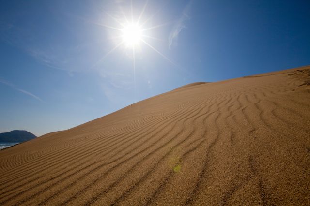
Cape Nagaobana
Last update
This page provides official travel information about Cape Nagaobana and nearby attractions in the Kansai region of Japan
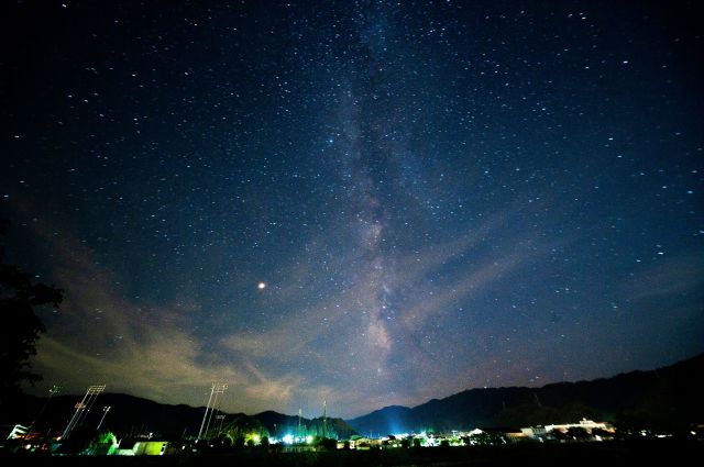
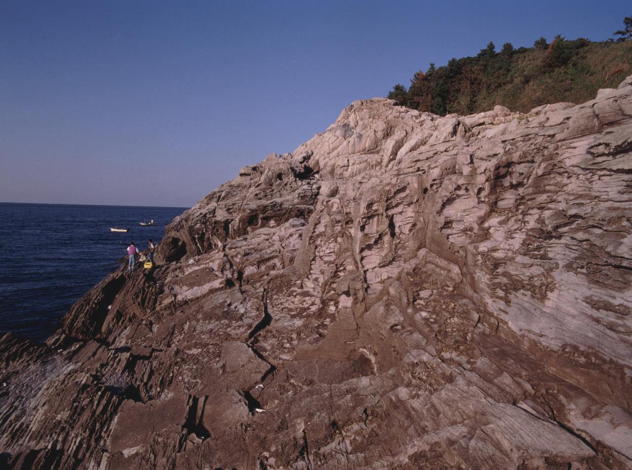
This cape on the border between Tottori city's Ketakacho and Aoyacho districts formed when a lava flow from volcanic activity late in the formation of the Sea of Japan formed a flat plateau at an elevation of about 80 meters. The entire cape is part of Nishi Inaba Prefectural Natural Park.
[Access] 3 min. taxi from JR Aoya Stn (2km). Can be seen from Natsutomari fishing harbor
Car: Exit the Sanindo-Aoya Interchange heading north, cross old Route 9 and heads toward the Natsutomari fishing harbor
[Multilingual Services] English pamphlets
Photos

Information
- Postal Code
- 689-0501
- Address
- Aoya, Aoya Town, Tottori City, Tottori Prefecture
- Tel
- Aoya Local Culture Hall 0857-85-2351 (9:00-17:00)
This basic information is current at the time of publication and is subject to change.
Please check the official website for the latest information.
Map
Nearby Spots
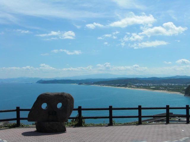
Uomidai Lookout Point
1.74 km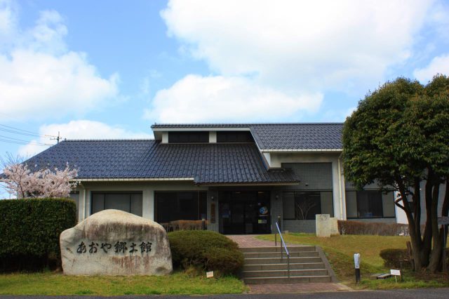
Aoya Local Culture Hall
1.98 km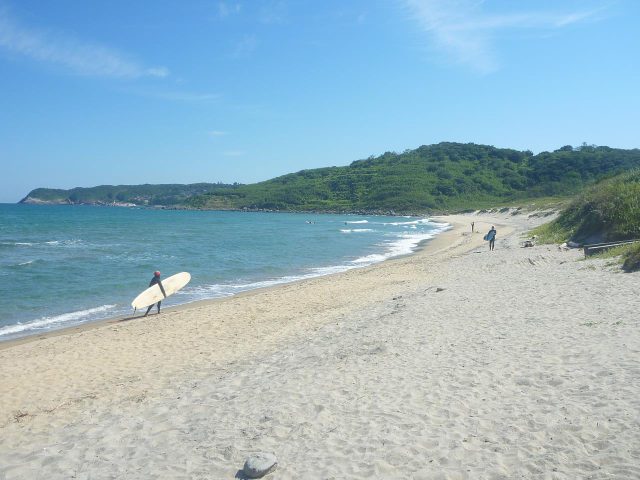
Idegahama Beach
2.55 km