Search for Flights
 Search for Hotels
 Check Exchange Rates
 Check the Weather
Osaka
+12
°
C
High:+15
Low:+4
Rain
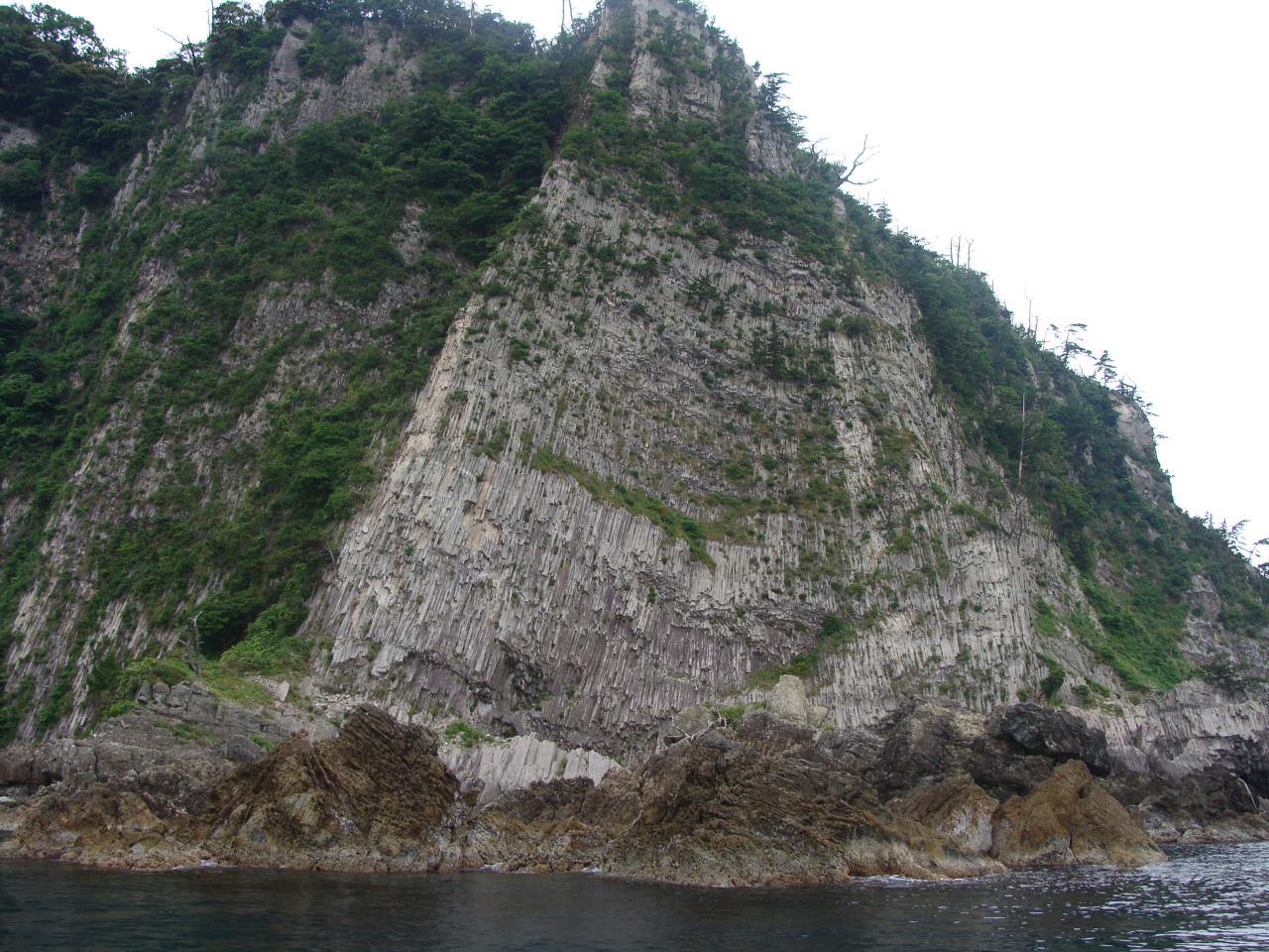
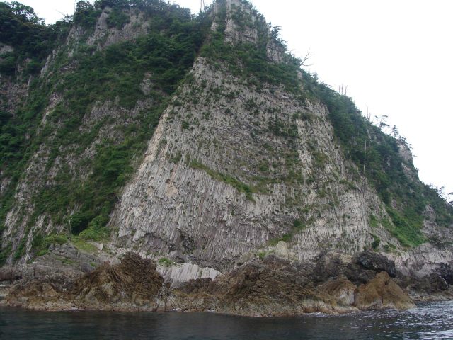
Sleeve of Armor Rock Formation
Last update
【Description】
Erosion exposed this large cliff of rhyolite and dacite. It stands 65 meters high on the eastern side. Sheets of rock developed into columnar joints running for some 200 meters. At the top of the triangular cliff wall one finds a seemingly countless number of these columnar joints and platy joints. Their resemblance to the armor that covers a warrior's arm led to its name. Distinctive rocks here such as Hawk's Nest Rock and Bee Hive Rock were eroded into shape by waves.
Photos
Information
- Postal Code
- 669-6564
- Address
- Shimonohama, Kasumi Ward, Kami Town, Mikata County, Hyogo Prefecture
- Tel
- San’in Kaigan Geopark Center 0796-82-8222
This basic information is current at the time of publication and is subject to change.
Please check the official website for the latest information.
Map
Nearby Spots
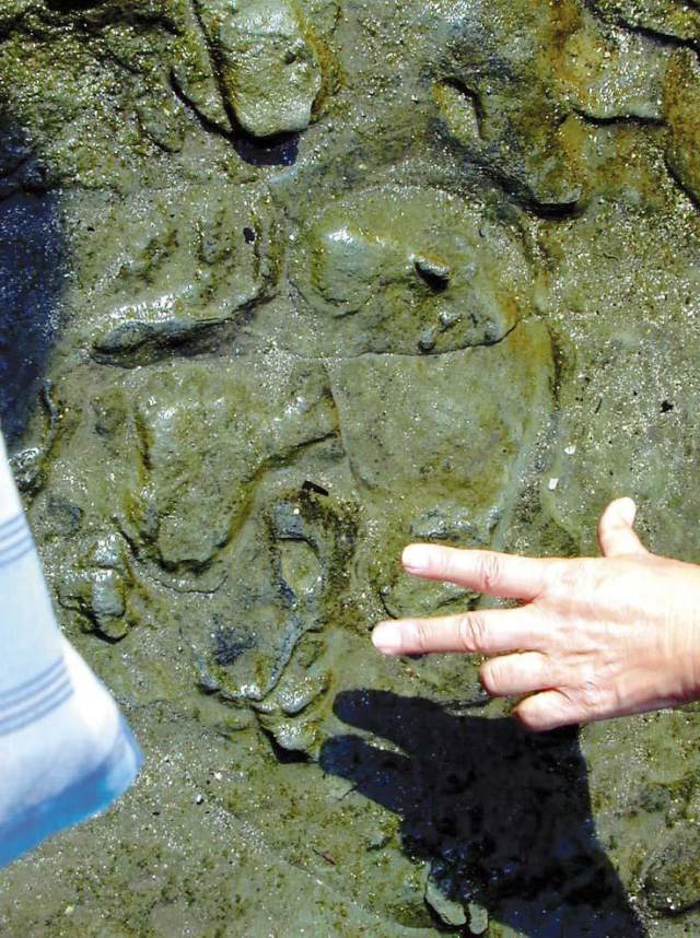
Shitahama Beach (Trace Fossils of Currents and Animal Tracks)
2.68 km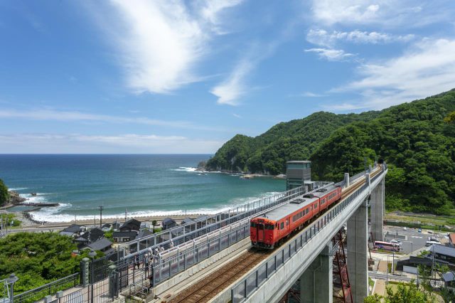
Amarube Bridge Sky Station Park
2.83 km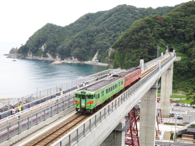
Amarube Bridge
2.95 kmCheck also...
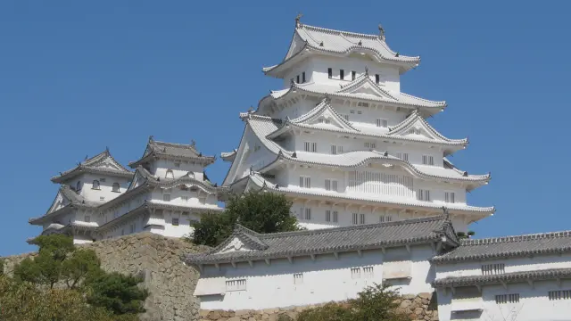
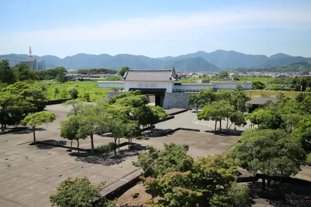
Trip to World Heritage Site Himeji Castle and Mt. Shoshazan Engyo-ji Temple (2-day/1-night trip, Himeji City, Hyogo Prefecture)
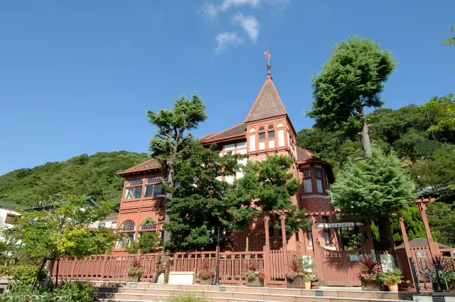
A city tour to experience exotic culture and history (Kitano Ijinkan-gai, Kobe City)
Historical Exploration in Arima, City of Hot Springs (Kobe, Hyogo Prefecture)