Search for Flights
 Search for Hotels
 Check Exchange Rates
 Check the Weather
Osaka
+12
°
C
High:+15
Low:+4
Rain
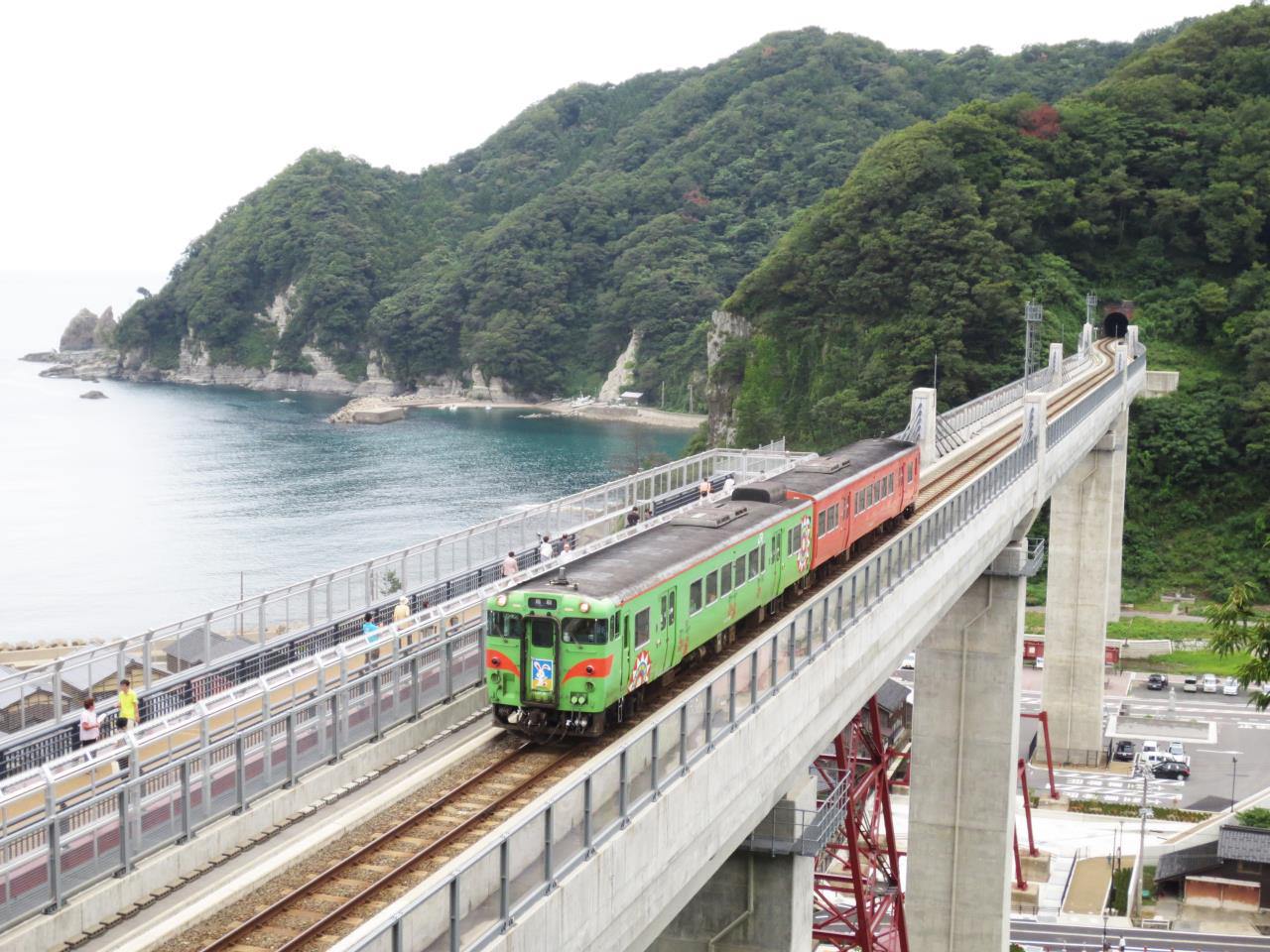
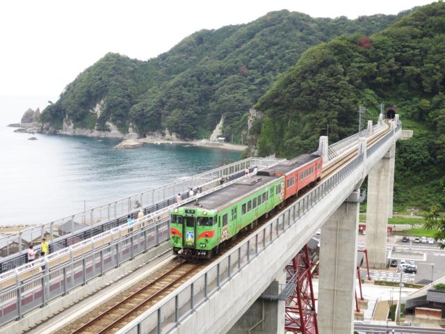
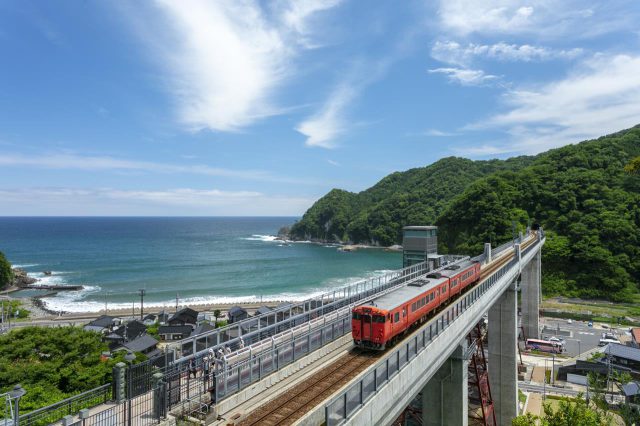
Amarube Bridge
Last update
This page provides official travel information about Amarube Bridge and nearby attractions in the Kansai region of Japan.
【Description】
This bridge spans a deep valley that is typical of the Tajima coastline. The original trestle bridge, which opened on March 1, 1912, stretched for 310.59 meters at a height of 41.45 meters. Part of the old bridge remains in place. Today it has been replaced by a concrete structure that is an extradosed bridge built from prestressed concrete steel.
Photos
Information
- Postal Code
- 669-6671
- Address
- Aza Nawate 1861-2, Amarube, Kasumi Ward, Kami Town, Mikata County, Hyogo Prefecture
- Tel
- Kasumi Tourism Association 0796-36-1234
- Businesshours
- The elevator to the Sky Station atop Amarube Bridge operates every day from 6:00 a.m. to 9:30 p.m.
- Holiday
- Open year-round
This basic information is current at the time of publication and is subject to change.
Please check the official website for the latest information.
Map
Nearby Spots
Amarube Bridge Sky Station Park
120 m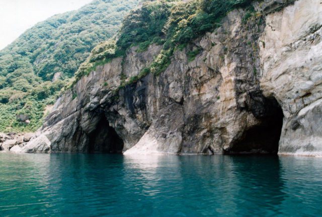
Tsuriganedo Cave Mouths
2.89 km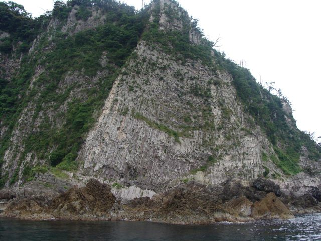
Sleeve of Armor Rock Formation
2.95 kmCheck also...

KOBE SUMA SEA WORLD TICKET
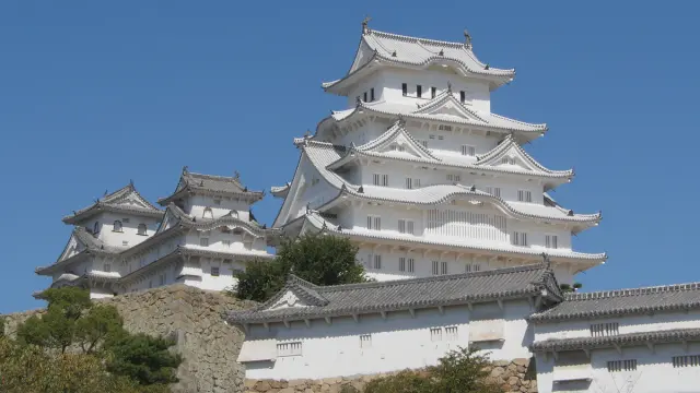
Trip to World Heritage Site Himeji Castle and Mt. Shoshazan Engyo-ji Temple (2-day/1-night trip, Himeji City, Hyogo Prefecture)
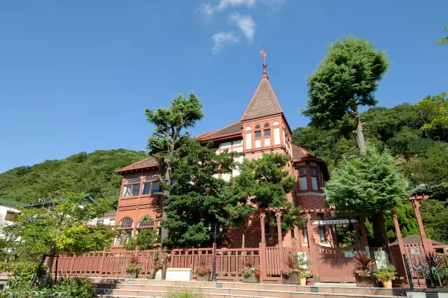
A city tour to experience exotic culture and history (Kitano Ijinkan-gai, Kobe City)