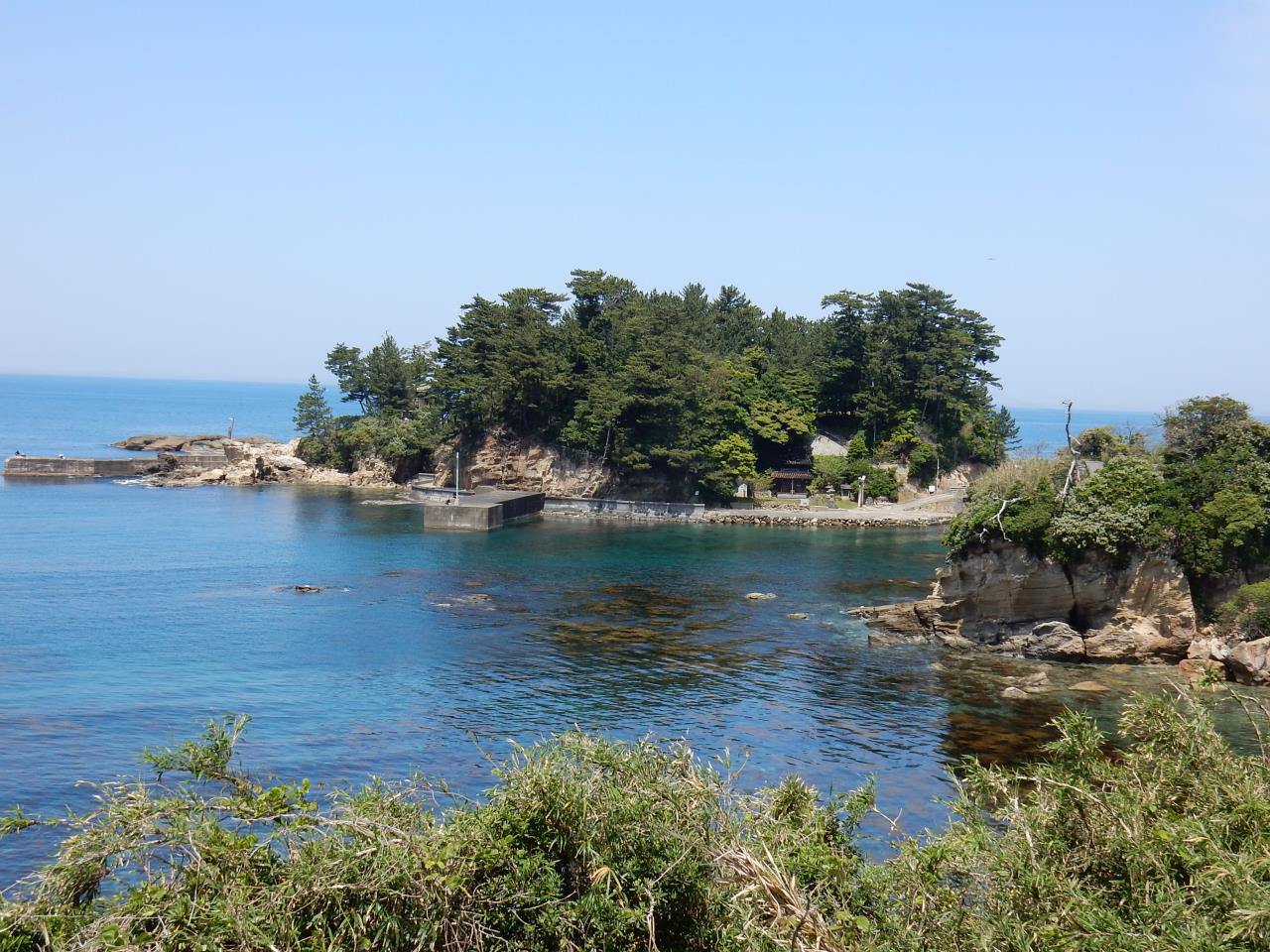
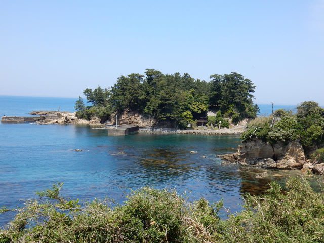
Shiroshima Island
Last update
【Description】
Shiroshima, which means "Castle Island," is so named for the stronghold that once stood on this small island with a shoreline of 4 km and an elevation of 21 meters. Today, Shiroshima is used as a park. Wave-cut platforms and giant's kettles are visible on the north side. Here and there you'll also see formations called domal structures that rise up to reveal the ground's geological layers.
Photos
Information
- Postal Code
- 627-0201
- Address
- Taiza, Tango Town, Kyotango City, Kyoto Prefecture
- Tel
- Tangocho Branch, Kyotango City Tourism Association 0772-75-0437
This basic information is current at the time of publication and is subject to change.
Please check the official website for the latest information.
Map
Nearby Spots
Tango Crepe Textile Factory Tour (Kimoto Orimono Musoden)
1.17 km
Nochigahama Beach
1.24 km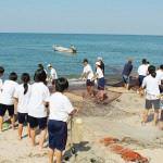
Seine Net Fishing: In the day during Apr-Jun & Sep-Oct
1.94 km