Search for Flights
 Search for Hotels
 Check Exchange Rates
 Check the Weather
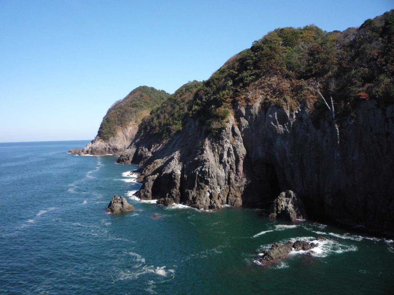
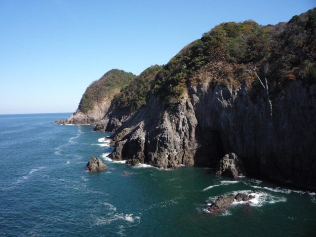
Cape Obikinohana
Last update
This page provides official travel information about Cape Obikinohana and nearby attractions in the Kansai region of Japan.
【Description】
The cape's towering andesite formation stands at the northern end of the Imagoura area. On the east side is a canyon formed by a geologic fault and the mouth to Obikido Cave. The tan-colored rockface is in the process of crumbling from fissures, as exemplified by the columnar joints. The observation deck at the tip of the cape provides a commanding view of the fantastic sights to the west that include the scenic beauty of the Kasumi community's shoreline and the vast expanse of the Sea of Japan.
Photos
Information
- Postal Code
- 669-6451
- Address
- Sakai, Kasumi Ward, Kami Town, Mikata County, Hyogo Prefecture
- Tel
- Kami Town Geopark and Maritime Culture Hall 0796-36-4671
This basic information is current at the time of publication and is subject to change.
Please check the official website for the latest information.
Map
Nearby Spots
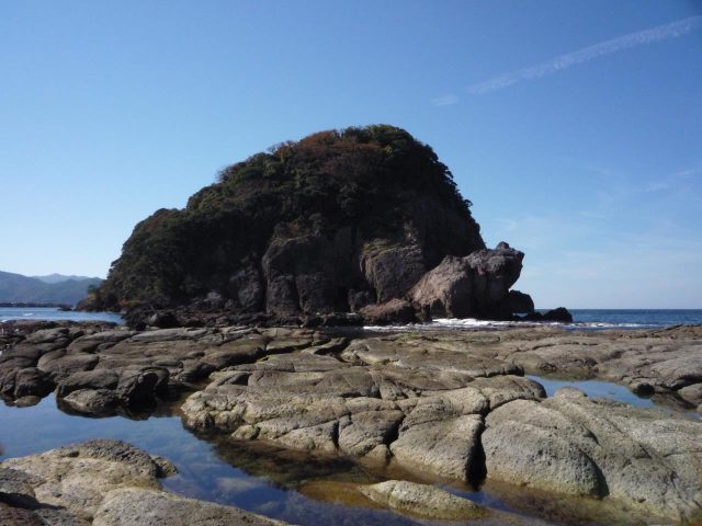
Frog Island
280 m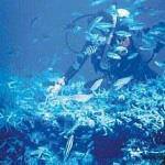
Scuba Diving (Kasumi-Minatokan)
1.3 km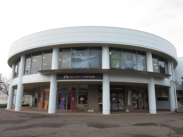
Kami Town Geopark and Maritime Culture Hall
1.65 km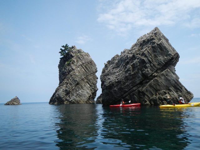
Kasumi Geo Kayak Club
3.33 kmCheck also...
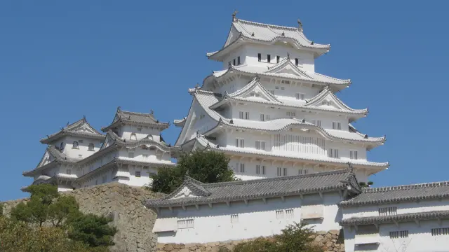
Trip to World Heritage Site Himeji Castle and Mt. Shoshazan Engyo-ji Temple (2-day/1-night trip, Himeji City, Hyogo Prefecture)
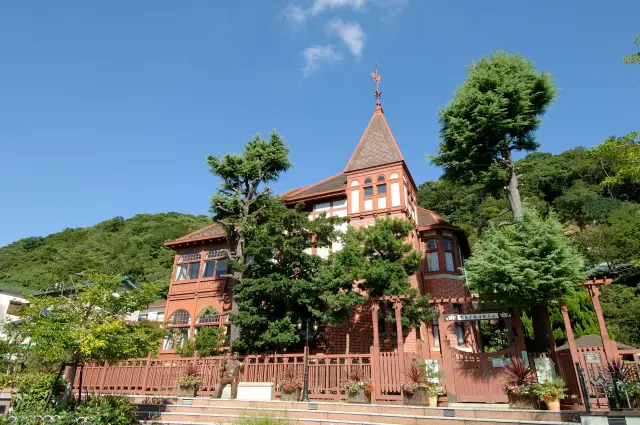
A city tour to experience exotic culture and history (Kitano Ijinkan-gai, Kobe City)
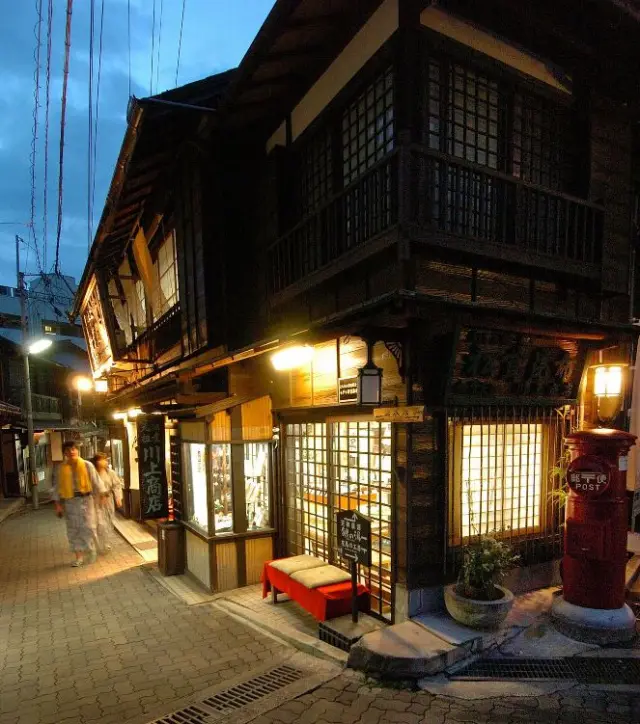
Historical Exploration in Arima, City of Hot Springs (Kobe, Hyogo Prefecture)