Search for Flights
 Search for Hotels
 Check Exchange Rates
 Check the Weather
Osaka
+12
°
C
High:+15
Low:+4
Rain

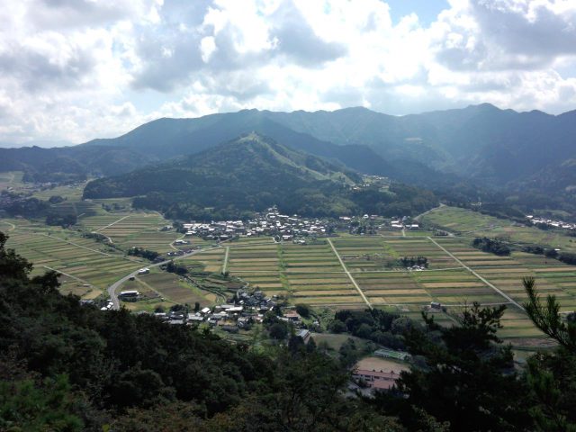
Teragi Basin
Last update
This page provides official travel information about Teragi Basin and nearby attractions in the Kansai region of Japan.
【Description】
Sediment that collected in a caldera formed some 3 million years ago later collapsed due to landslides to create the basin we find here today. Mt. Atago, which stands in the center, has a ski slope. The gentle slopes where landslides once occurred are now used for terraced rice farming.
Photos
Information
- Postal Code
- 669-6813
- Address
- Tando, Shin-onsen Town, Mikata County, Hyogo Prefecture
- Tel
- Shinonsen Town San'in Kaigan Geopark Center 0796-82-5222
This basic information is current at the time of publication and is subject to change.
Please check the official website for the latest information.
Map
Nearby Spots
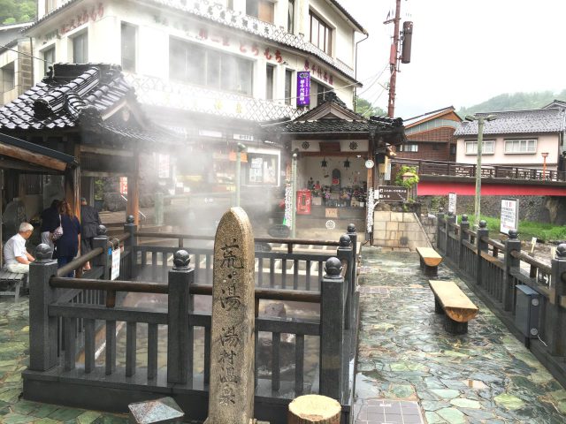
Arayu Hot Spring
3.35 km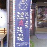
Yumura Onsen Specialty: Hot Spring Water Hair-Washing
3.39 km
Visit to Oba'a Café
3.49 km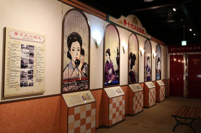
Yumechiyokan Museum
3.51 kmCheck also...
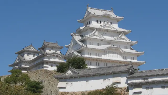
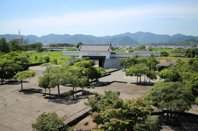
Trip to World Heritage Site Himeji Castle and Mt. Shoshazan Engyo-ji Temple (2-day/1-night trip, Himeji City, Hyogo Prefecture)
A city tour to experience exotic culture and history (Kitano Ijinkan-gai, Kobe City)
Historical Exploration in Arima, City of Hot Springs (Kobe, Hyogo Prefecture)