Search for Flights
 Search for Hotels
 Check Exchange Rates
 Check the Weather
Osaka
+12
°
C
High:+15
Low:+4
Rain
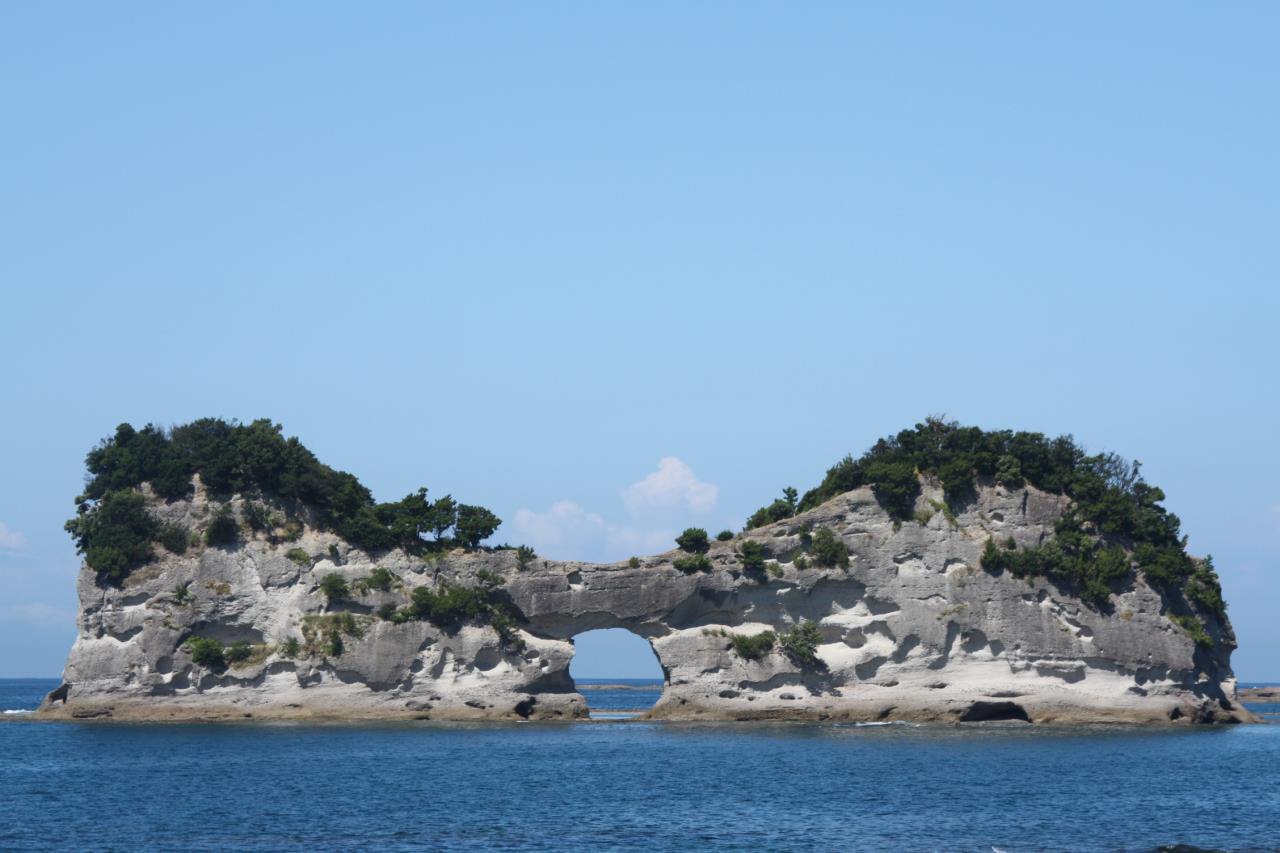
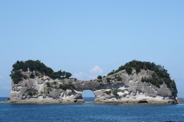
Engetsuto Island
Last update
This page provides official travel information about Engetsuto Island and nearby attractions in the Kansai region of Japan.
This is a small island of 130m long from north to south, and 35m wide from west to east with the height of 25m. The island itself is formed by a not-so-old conglomerate. It has a round hole in the middle of the island made by wave erosion. You can sometimes catch the magnificent view of the sun setting into the ocean through the hole.
Photos
Information
- Postal Code
- 649-2211
- Address
- 3740 Shirahama Town, Nishimuro-gun, Wakayama
This basic information is current at the time of publication and is subject to change.
Please check the official website for the latest information.
Map
Nearby Spots
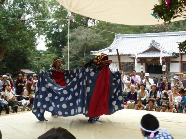
Kumano-sansho Shrine Reitaisai (Regular Festival)
780 m
Shirahama Energy Land
1.38 km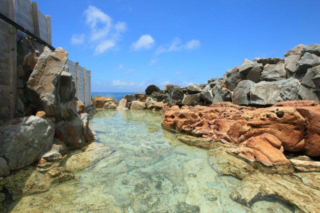
Shirahama Onsen, Saki-no-Yu Onsen
1.44 km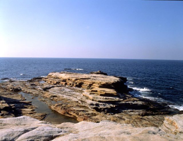
Senjojiki Rock Plateau
2.17 kmCheck also...
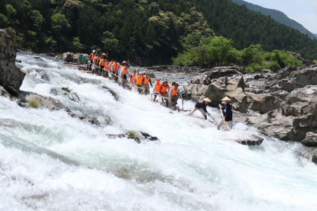
Ikada-Kudari(Log rafting)
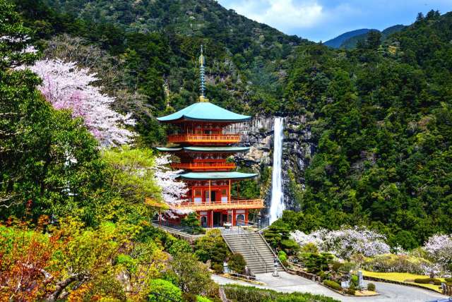
Visit famous temples along the Kishu Road in search of spiritual healing from the spectacular view of Wakanoura(2-day/1-night trip, Wakayama City, Kinokawa City, Iwade City, Wakayama Prefecture)

In this tour, you will get a taste of sights from the Edo period (1603–1867) that still stand today and are mentioned in the diary of Kawai Koume, a painter who lived in a castle town