Search for Flights
 Search for Hotels
 Check Exchange Rates
 Check the Weather
A sacred line created by the earth’s energy—a magical power from the Median Tectonic Line
Last update

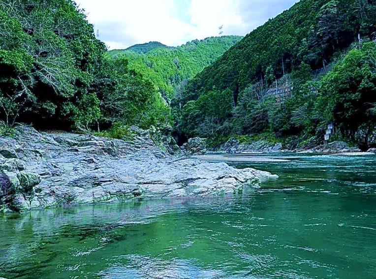
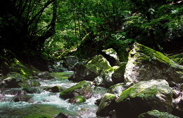
A number of excavated articles from ancient times have been recovered from Nara Prefecture’s Miyataki Ruins, located in Yoshino Town, almost at the center of the Kinki Region. Directly behind the ruins, some lined greenish-colored rocks can be found, with a crooked river of deep green water running between them. Gazing on this beautiful scenery transports us to a sacred place where the holy gathered.
In the year 656, nearly 1400 years ago, Empress Saimei selected this spot as the place to build the Yoshino Imperial Villa, probably because she felt the exhalation of some kind of power from the natural environment there. These kinds of bluff, often created from tectonic movement, line the fast-moving Yoshino River, and are covered with lush greenery and stretch from east to west all the way to the ocean.
In 1885, a German geologist. Edmund Naumann, mapped one of the longest fault systems in the world, extending over 1,000km across the archipelago of Japan. Beginning near the center of Japan, it passes through the Kii Peninsula to Shikoku, with these kinds of green rocks across the Kii Peninsula sitting right on the fault line.
This fault zone, later named the Median Tectonic Line (MTL), is believed to have been formed sometime between the Late Jurassic to the Early Cretaceous Periods (around 140 to 100 million years ago). Rocks that appear on the edges of the tectonic line display clear differences with those on both the north (inner zone) and south sides (outer zone). Greenschists on the south side are characterized by their soft coloring from greenish minerals and a distinctive structure resembling layered thin leaves. A number of spiritual establishments and religious spots are located along the MTL, and many of them feature greenschists.
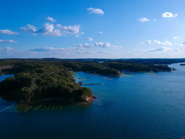
One of the best examples can be found in the two rocky stacks called Meoto-iwa, or the Married Couple Rocks, off the Kii Peninsula in Ise City, Mie Prefecture, with the larger one, the husband, being a greenschist. Located on the east side of the MTL, they have been admired as a sacred spot to worship the sunrise since ancient times. Ise-jingu Shrine, which the Japanese revere as the “Soul of Japan,” also sits on the MTL, about 8km south-east from these rocks.

The areas where these faults exist have seen frequent volcanic activity since time immemorial, so it is no wonder that Ise-jingu Shrine might well have been established to control such disasters. The Eboshi Rock and huge Kagami Rocks are also greenschists, and the Isuzu River that runs through these rocks has beautiful, crystal clear water.
Going further west, one can see cross sections of the MTL up close near the headwaters of the Tsukide River in Matsusaka City, Mie Prefecture. The line has been exposed here since the Ise Bay Typhoon in 1959 due to a landslide, clearly displaying the borderline between the inner and outer zones. This spot was designated as a National Natural Monument in 2002, and was also selected as one of the 100 National Remarkable Geological Sites in Japan.
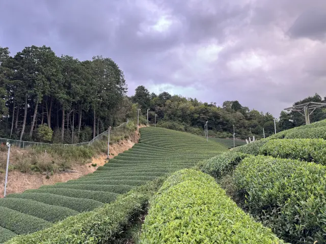
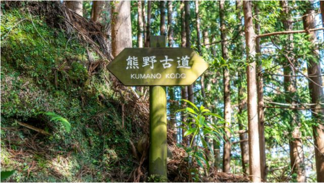
The Miyataki Ruins are located where the MTL intersects the Yoshino River that flows out of Odaigahara Plateau, often referred to as the “Roof of the Kinki Region.” After the Yoshino Imperial Villa was established here by Empress Saimei, visits to this area were paid by further emperors and empresses, including Tenmu, Jito and Shomu, and numerous poems were penned at the time of each visit. Greenschists were used as the foundation of the villa excavated here, and it is probable that the emperors wished to show respect to this area because they wanted to absorb some kind of power from the local environment. Yoshino History Museum may be the perfect place to learn the history behind this.

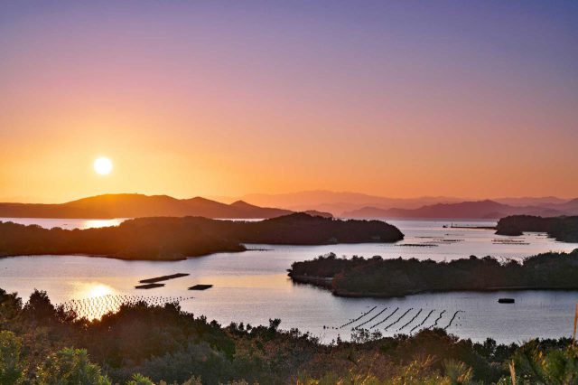
The Yoshino River changes its name to the Kinokawa River when it flows into Wakayama Prefecture. On the south side of the river, there is the Iwase Senzuka Tumuli Cluster, which is one of the largest in Japan, and consists of 850 tumuli created between the late 4th and 7th centuries. This is believed to be the graveyard of the Ki Family who came from the continent and ruled this area. Rock chambers in this cluster were constructed from stacked greenschists. They are also used for the stone walls of Wakayama Castle, which is located on the west side of the MTL.

Along this MTL, there are a number of zero magnetic fields where the north and south poles traverse each other, and is therefore force free. Since ancient times, people have attempted to control and exploit the invisible power generated by this wonder of mother nature. When we see the evidence of people’s lives and their creations developed from these ruins along the MTL, we cannot help but feel in awe of the power that exists here.
Check also...
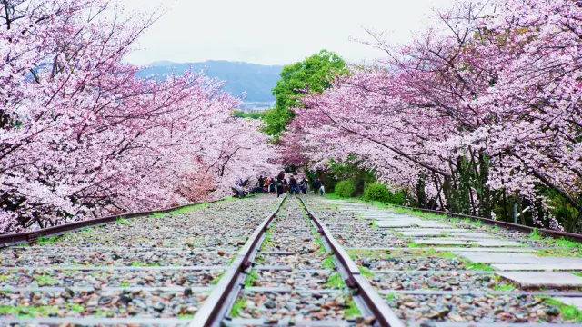
5 Best Cherry Blossom Viewing Spots in the Kansai Area
4 Magnificent West Japan Views That Won a Photo Contest
People’s life and hearts nurtured by forests and vice versa 〜Yoshino, a range of beautiful forests, and the birthplace of afforestation”〜
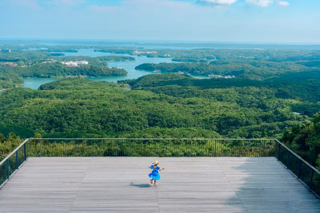
A Complete Guide to Iseshima's Highlights: Enjoy Mountains and the Ocean!
The Great Kii Peninsula
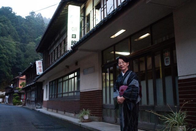
Asahikan (Nara) Japanese Inn
Ise-Shima and Iga: Tracing the Miketsukuni Route From Sea to Clay